The Trailer was rocking all night long with the stout wind that was ripping out ahead of the next installment. The clouds were on and off over the hill all day long, with the precipitation lowering early in the afternoon. The forecast is still holding up for a winter blast that looks like it might persist through Monday, so the hill will be on the mend. The high definition interference patterns are fairly wide spread, which will make the high traffic area lines bouncy, as the new snow may not have enough cushion to mitigate the rumble. Remember, the Cirque Traverse was once again set up for some serious glaze as the temps return to normal, so expect some challenges if the wind blows the new essence from the traverse. It was very difficult the other day when I went out there with full firmness, or should I say High Shine with ledge like ratchet bumps. Those particular shapes are notoriously biased against a speed bleeding edge check, so approach with caution. Coverage on the hill is still good, but those sketchy entrances are still going to present some issues, though a good dose of the freshness will go a long way to making them less gnarly. Depending on the severity of the snow fall, the Canyon may present some access issues in the AM. so check before leaving. I will get a better feel for the changes when I get that first hand look. Hope for some Spackle like consistency to start things out with lighter accumulation as the storm moves through, other wise
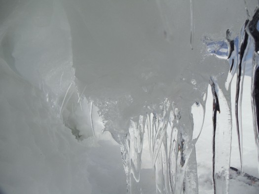
it could be classic dust on crust, but I think the moisture content will be higher to start. Here is another shot from the deep snow zone dimension, where crystalline structure morphs to more fluid shapes. Like magic!!! Ciao!

